


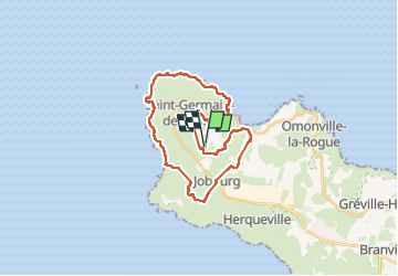

21 km | 27 km-effort

Gebruiker GUIDE


Gratisgps-wandelapplicatie
 SityTrail
IGN / Geografische instituten
SityTrail World
De wereld gaat voor u open
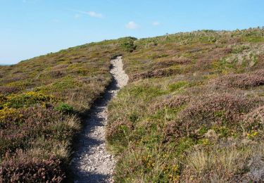
Tocht Te voet van 28 km beschikbaar op Normandië, Manche, La Hague. Deze tocht wordt voorgesteld door chessyca.
Journée en boucle du à l'obligation de passer deux nuits dans le même gite
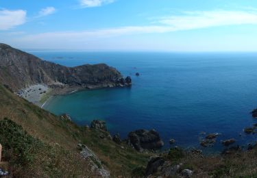
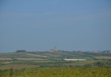
Quelques falaises spectaculaires autour de la Hague et une petite halte à Port Racine, plus petit port de France
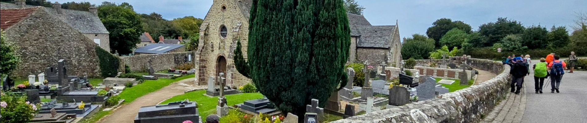
Maison et tombe de Jacques Prévert sur le parcours


Stappen

Mountainbike
Stappen

Te voet

Stappen

Stappen

Stappen
Stappen
Te voet